
Send it! Outside: A Community Map for Mountain Bikers
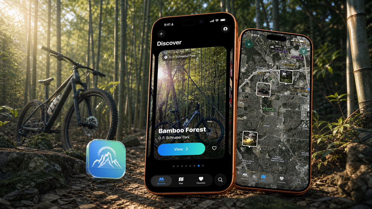
Discover trails. Share moments. Ride together.
A community-powered mountain bike discovery app built and owned by Koedal.
Send it! Outside began with a simple observation: trail maps can show riders where a trail goes, but they rarely reveal the hidden views, memorable features, and photo-worthy places that make a ride worth sharing.
We wanted a faster, more visual way to answer the question every rider asks: Where should we ride next?
Built and owned by Koedal, Send it! Outside is a community-powered discovery app for mountain bikers. Riders can browse trail photography, explore each location on a map, save the places they want to visit, and contribute their own discoveries.
The Product Challenge
Most trail apps are organized around routes, navigation, or performance data. That information matters, but it leaves out the human side of riding: the overlook worth climbing to, the unexpected feature hidden in the trees, or simply knowing what a place feels like before heading out.
We designed Send it! Outside around visual discovery. Every photo connects riders to useful location details and gives them a clear next step—explore the surrounding area, save the spot, share it with friends, or navigate there.
Built for Discovery
Send it! Outside gives riders everything they need to turn inspiration into their next ride:
- A photo-first discovery feed featuring places shared by local riders
- An interactive map with photo pins across parks and trail systems
- Search scoped to the rider’s current map area
- Detailed information about each location, including its park, trail, altitude, and community notes
- Navigation through Apple Maps, Google Maps, or Trailforks
- Favorites for building a personal list of places to ride
- Shareable links that make coordinating with friends easy
- Community reporting to help keep information accurate
Making Contribution Effortless
A community map only becomes valuable when contributing feels easy.
When riders submit a photo, Send it! Outside automatically reads available details such as its location, date, altitude, and camera information. The rider adds a name, park, trail, and a few notes, then submits the place for others to discover.
Each contribution makes the map richer and gives another rider a reason to get outside.
Ready Beyond the Trailhead
Mountain bike trails do not always come with reliable cell service. Recently viewed discovery content, maps, and favorites remain available offline, helping riders retain the information they need when their connection disappears.
The interface was designed to be quick to scan outdoors while still providing enough detail to plan a full day of riding.
Built in San Antonio
Send it! Outside launched in San Antonio with more than 80 locations already mapped across local parks and trail systems.
San Antonio is the first community, but the product is designed to expand into additional regions as more riders contribute their favorite places. Local bike shops and riding businesses can also participate, creating a direct connection between trail discovery and the people supporting each area’s mountain biking community.
The result is a living map built by riders, for riders—one that becomes more useful every time someone shares a place worth the climb.
A better way for mountain bikers to find the views worth the climb.
Checkout these other projects
We like them
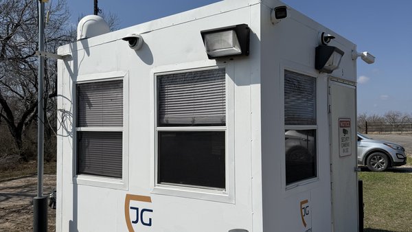
Gate Guard - Security for Remote Locations
Gate Guard - Location Security for anyone, anywhere

Refuel: AI-Powered Holistic Human Performance App for the U.S. Air Force
AI Holistic Human Performance App

Disney Karaoke: Frozen – Magical Sing-Along Fun to iOS with Precision Custom Development
Let It Go: Frozen Karaoke iOS App